
I spend a lot of time teaching and assessing navigation and one of the things I’ve noticed is that I often see the same mistakes being made by complete beginners AND by people getting ready (& sometimes actually on) their mountain leader assessment.
For navigation to be right it needs to have a good foundation.
And that’s where instructors usually start talking about the letter D.
I’ve a good friend who I respect immensely who insists there’s only really one D (more of this later) – but I’m a simple creature – I need things spelling out to me step-by-step.
A lot of articles will mention 4 D’s, some will offer 5 – but I’m going to suggest 6….
Departure….
I see this a lot – and it’s the D other’s don’t seem to mention.
But….If you don’t know where you’re leaving from then it’s going to be very difficult to navigate to where you want to be.
Of course sometimes it’s going to happen – we all get momentarily unsure – so take yourself to a definite point and start again. Otherwise its just a leap into the unknown.
 Destination…
Where are you going? I know it seems simple, but I often see trainees and assessment candidates who don’t really know what the feature or location they’re heading to is.
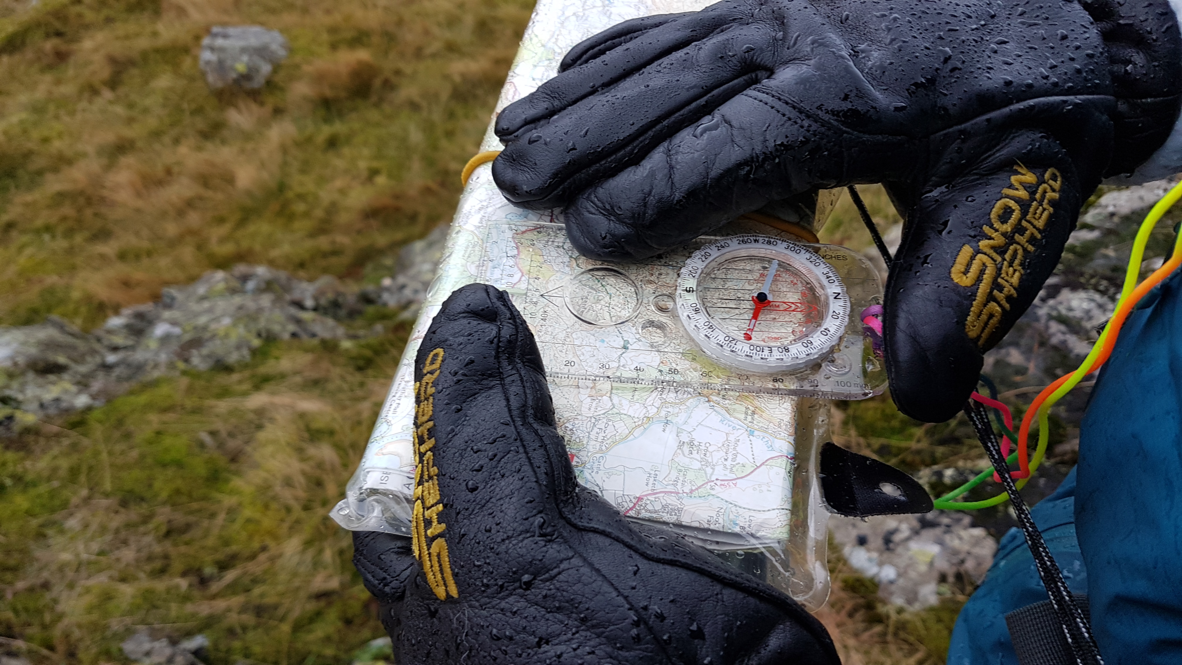
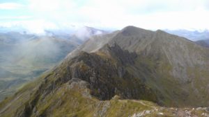
It’s really worth spending some time reading the key (or raster) on the map you’re using. Last week on a Mountain Leader Assessment I had candidates who didn’t know what items on the map were – it makes it a lot harder to find them. If it’s a ground feature then spend sometime getting to grips with contours – can you tell your gullies from your spurs?
(I’ve chosen this picture because some wall are marked differently on Harvey’s maps – which can be super useful to know!)
Direction…
So now we know where we’re setting off from and where we’re going – so which direction is it?
If you’re a beginner you can probably do this simply by orientating your map – if you’re on assessment make sure you can take an accurate bearing…and when you set off take a quick back bearing to check. I’ve lost count of the number of candidates who, with a little bit of (understandable) assessment jitters have taken us the wrong way.
 Distance…
So how far is it going to be then?
I often find people are quite fixated on how far they’re going to travel – when in fact it’s often the least important thing to know. But it will have an impact on the next two D’s which are kinda critical – it does also help to know if you’re going to walk off your map….
Duration…
So this is a much better way to measure distance – how long will it take?
If you don’t have a pacing card then there’s a template in my downloads – but knowing the speed you move, how much to add for ascent (& descent) all makes a much more accurate way to gauge your progress. It might only be one kilometre…but is it’s a 200m ascent it will quite possibly take twice as long as if it’s on the flat.
Description…

This is the one that really matters – this is where you put all of the above – and more – together.
Can you tell the story of your journey – have you spotted which side a feature will be on, what will you pass, where might you encounter a problem, what will tell you if you’ve gone too far?
If your description is missing any of the first 5 – then it probably isn’t good enough, but if your description includes them all – then its all you really need.